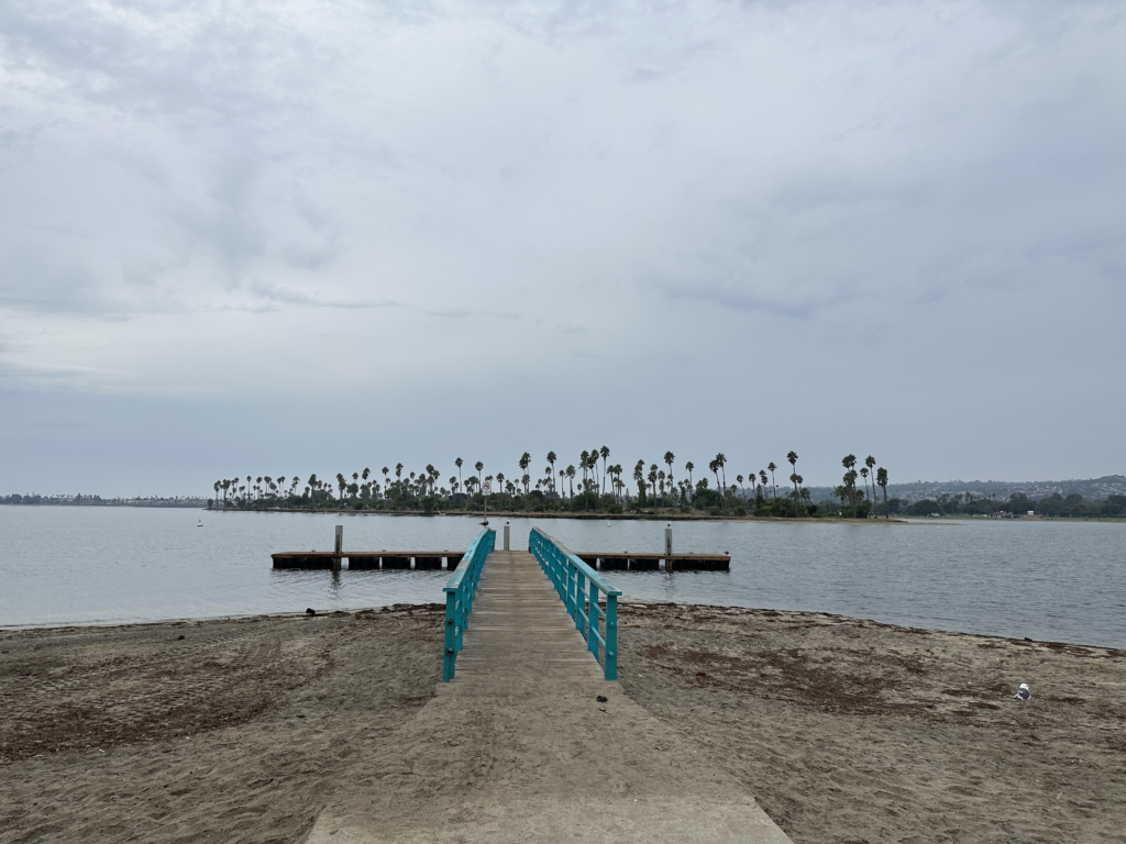
Mission Bay
Mission Bay Park was developed from the 1940s through the 1960s using a tidal marsh named “False Bay”. The San Diego River had historically shifted its outlet between San Diego Bay and False Bay, until 1852 when the United States Army constructed the first dike along the south side of the river to prevent it from shifting back to San Diego Bay. The San Diego River is now constrained on both the north and the south by levees and it no longer drains to the ocean through what is now called Mission Bay.
Mission Bay gets freshwater input from Rose Creek in the Northeast corner, and Tecolote Creek in the Southeast corner near Fiesta Island. The Rose Creek Watershed drains a 23,427-acre or 36-square mile area into Mission Bay. The main natural features of this watershed include Rose and San Clemente Canyons and their tributary canyons, including Stevenson and Lakehurst Canyons. This watershed transects portions of Scripps Ranch, Mira Mesa, Kearny Mesa, La Jolla, Pacific Beach, Clairemont Mesa, and almost the entirety of University City. Tecolote Creek drains an area of about 10 square miles mostly in Clairmont, Clairemont Mesa, Linda Vista, and Bay Park via Tecolote Canyon and its tributary canyons.
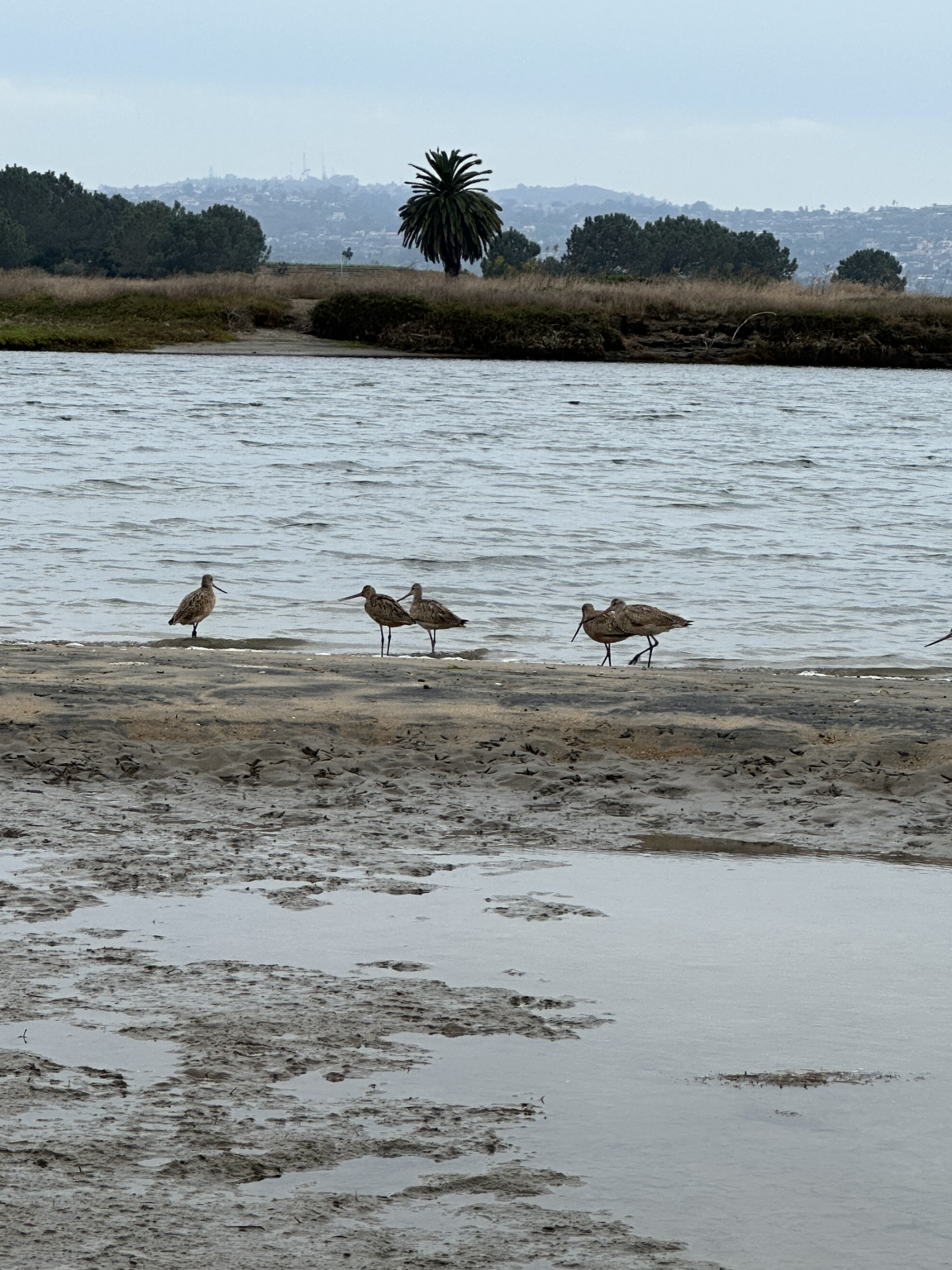
Most of the marsh and intertidal area in False Bay was destroyed to create the landforms of Mission Bay Park, which now is almost entirely man-made. There are a few small areas remaining in a more natural state, most notably the Kendall-Frost Reserve & Northern Wildlife Preserve. Other natural areas include Mariner’s Point, Perez Cove, Tecolote Creek, Fiesta Island, and Famosa Slough Wildlife Preserve. A portion of the Flood Control Channel between the levees that confine the river is designated as the Southern Wildlife Preserve.
Wetland Expansion Potential
Restoration
The most promising source of wetland expansion in Mission Bay is the planned restoration of wetland function in the northeast corner of the bay. This project, known as “Rewild” or “De Anza Natural,” will convert some land now used for camping and mobile home parking back to natural wetlands. Detailed information is available on the City website.
Marsh Migration
There are only a few very small opportunities for landward migration of wetlands. While Fiesta Island offers a large undeveloped area, it is mostly more than ten feet above sea level, confining wetland expansion to the sloping edges. Recontouring this artificial island would open up significant wetland expansion potential.
Constraints
The area around Mission Bay is heavily developed. Much of this development is threatened by sea level rise. Presumably, this expensive real estate will be defended as long as possible, probably until it is too late for conversion to wetlands. The inevitable retreat will leave behind mostly open water.
Public Access
Recreation
Approximately half of the park was state tidelands. The tidelands were transferred to the City of San Diego with several restrictions, including:
- a ban on permanent residential development or any private ownership of land within the tidelands
- a limit on commercial development of leaseholds of no more than 25% of the land area and 6.5% of the water area for private purposes.
This ensures that most of the acres making up Mission Bay Park are available for public recreational use. The leaseholds within the park mostly provide facilities for recreation and tourism.
Transit
Transit access to Mission Bay Park is very poor, making the recreational opportunities mostly accessible only by car.
The Tecolote Road Trolley Station provides access to Fiesta Island via a hazardous and circuitous walk of almost a mile on roads not designed for pedestrian use.
The MTS 8 and 9 bus routes make several stops within the park. The 9 stops at Sea World and near Perez Cove and connects to other transit options at the Old Town Transit Center. The 8 stops near Sunset Point and Mariners Point Park and also connects to other routes at Old Town.
Learn more about conservation efforts in Mission Bay: ReWild Mission Bay
Learn more about recreational opportunities in Mission Bay Park: Map of Facilities