Los Peñasquitos Lagoon
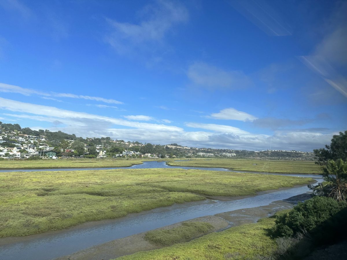
The Los Peñasquitos Lagoon is the estuary where Los Peñasquitos Creek, Carmel Valley Creek, and Carroll Canyon Creek come together to meet the Pacific Ocean at Torrey Pines State Beach. The Los Peñasquitos watershed is approximately 60,419 acres of which 59,212 is composed of the drainage areas of Los Peñasquitos Creek, Carmel Creek, and Carroll Canyon Creek. The Los Peñasquitos Watershed is located within west–central San Diego County and includes portions of the City of San Diego, the City of Poway, the City of Del Mar, and unincorporated areas of San Diego County.
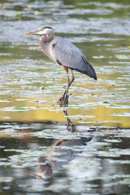
The lagoon is located partly in the City of San Diego and partly in the City of Del Mar. It is comprised of a range of ecologically and environmentally sensitive areas. It is home to the Los Peñasquitos Marsh Natural Preserve, a portion of the Torrey Pines State Natural Reserve that is closed to boating and is open to hikers only on a limited basis. Los Peñasquitos Lagoon and its adjacent uplands provide habitat to 49 sensitive species that include 35 plants, 1 insect, 6 reptiles, and 5 birds. The lagoon also serves as an important refuge for migratory birds using the Pacific Flyway and is the closest coastal estuary providing essential fish habitat to support the La Jolla State Marine Conservation Area and San Diego-Scripps State Marine Conservation Area located just south of the Lagoon.
The natural preserve is owned and managed by California State Parks with support from the Los Peñasquitos Lagoon Foundation. Founded in 1983, the Los Peñasquitos Lagoon Foundation is a 501 (c)(3) non-profit organization that works directly with California State Parks and other key stakeholder groups to protect, restore, enhance, and preserve Los Peñasquitos Lagoon.

Wetland Expansion Potential
Wetland Migration
The current preserve boundary includes upland areas that will allow the marsh to migrate as sea level rises. Some of these areas were historically salt marsh and were buried by large sediment deposits during flood events at times when the watersheds were experiencing development. The Carrol Canyon has a long history of sand and gravel mining that caused excessive sedimentation where it enters the tidal wetlands.
Part of the historic salt marsh is covered by a lightly used paved parking lot. There is a plan to remove some of the parking lot and restore the habitat. As sea level rises, the entire lot will be inundated and will need to be relocated to higher ground. The preserve boundary includes some higher ground along the western extent of Carmel Valley Road that could be used to provide parking.
Constraints
The preserve is highly constrained by topography, development, and infrastructure. The northern boundary is Carmel Valley Road, and north of the road the land rises fairly steeply, precluding expansion northward. The southern and western boundaries are steep slopes, mostly protected as part of the preserve or the adjacent Torrey Pines Preserve. The eastern boundary is blocked by a combination of Interstate 5, steep slopes, and development along Sorrento Valley Road and Roselle Steet.
Potential Acquisitions and Restorations
Most of the contiguous wetland areas are already included in the preserve, or blocked by significant infrastructure. There are only a few potential acquisitions, and they are upland areas. There are two on the western end of Carmel Valley Road – APNs 3010320500 and 3010321100 – and each is less than half an acre.
At the southern end of the preserve, expansion is blocked by extensive development and infrastructure.
There are some plans for restoration projects that would improve the tidal flows within the marsh. As upland areas are inundated, removal of upland vegetation would help ease the conversion to marsh.
The rail line bisects the lagoon on berms and bridges. At some point, the tracks will be relocated as part of the project to move the tracks inland through Del Mar, most likely in a tunnel. Two options are under consideration: one would tunnel under the lagoon, and the other would move the tracks closer to I-5. Removing the existing bridges and berms would improve the health of the lagoon by allowing better tidal flushing and adding to the marsh area.
A large parcel north of Carmel Valley Road that will be impacted by sea level rise is dedicated open space but is not part of the state park. There would be some value in integrating the management of this area with the park, as it provides a link between the wetland area and an upland extension of the park further north.
Public Access
Public access is restricted to the periphery of the salt marsh. The interior of the marsh is protected as sensitive habitat, and not suitable for recreational activities.
The public can enjoy the views of the wetlands and wildlife from the edges of the marsh. Access is provided by the trail along the Southern edge, North Torrey Pines Road and a parking lot on the west, Carmel Valley Road on the North, and the closed section of Sorrento Valley Road on the East. Parts of the public trail along the southwest shore of the lagoon are expected to be flooded by sea level rise. There is a plan to relocate those parts of the trail to higher ground.
The public can also enjoy views from their vehicles on the North and West sides, and from train windows as the train traverses the center of the marsh.
The beach west of North Torrey Pines Road is open to the public and is not part of the preserve. The public beach parking lot is within the preserve and is at risk from sea level rise.

Two of the potential additions to the reserve have good potential to increase public access. They are at higher elevations near the western end of Carmel Valley Road. If these properties ever became available, they would be an excellent location for a visitor center and some public parking to replace the beach parking lot that is at risk from sea level rise.
More information:
- Los Peñasquitos Lagoon Foundation’s Watershed Approach – Get more information on the watershed-based approach for lagoon recovery and improvements.
- Los Peñasquitos Lagoon Enhancement Plan Information – Learn the history and what is included in the Lagoon Enhancement Plan.
- Los Peñasquitos Lagoon Enhancement Plan – Read the full text of the final 2018 Lagoon Enhancement Plan