Tijuana River Estuary
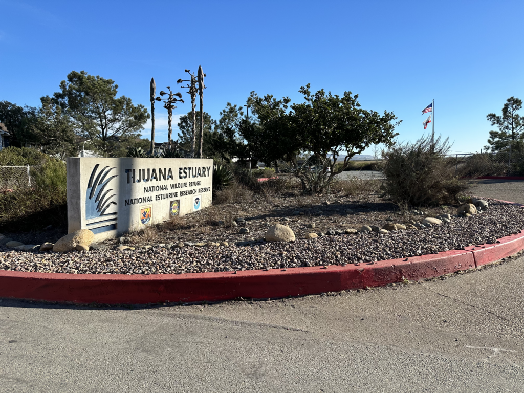
Contained largely within the Tijuana River National Estuarine Research Reserve (TRNERR), Border Field State Park, and Tijuana River Valley Regional Park, the Tijuana River Estuary is a vital natural ecosystem characterized by its rich wetlands. Facing the challenges of sea level rise and topographical constraints, this estuary provides a unique habitat for wildlife and offers public access through a network of trails and a visitor center.
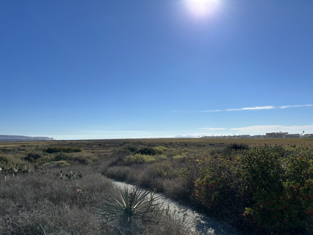
The Tijuana River Watershed covers 1,750 square miles from Sheephead Mountain in the Laguna Mountains in the U.S. to the Sierra de Juárez Mountains in the south. About three-fourths lies in Mexico and includes the cities of Tijuana and Tecate. The US part of the Watershed begins in the mountains near Mount Laguna as Pine Creek and Cottonwood Creek. Water then flows into Mexico before returning to San Diego County for its last 5 miles, where it reaches the Pacific Ocean south of Imperial Beach as the Tijuana River. The lower reaches provide the last undeveloped coastal wetlands in San Diego County. The lower 2 miles of the river form the broad mud flat estuary.
This area is characterized by steep hilly terrain and a Mediterranean climate. Vegetation cover is dominated by chaparral and coastal sage scrub, along with vernal pools and riparian zones and conifers in the mountains. There are four reservoirs in the watershed (Barrett and Morena in the United States, and Rodríguez and El Carrizo in Mexico). The lowlands of this arid watershed receive only about 10 inches of rain per year, the mountains 25 inches, so the Tijuana River and its tributaries often go dry in times of drought.
The Tijuana River National Estuarine Research Reserve protects 2,293 acres (928 ha) and studies the Tijuana River Estuary. The reserve is managed in part as a Biological Field Station by the San Diego State University College of Sciences, which also protects part of the estuary near the ocean within the United States.
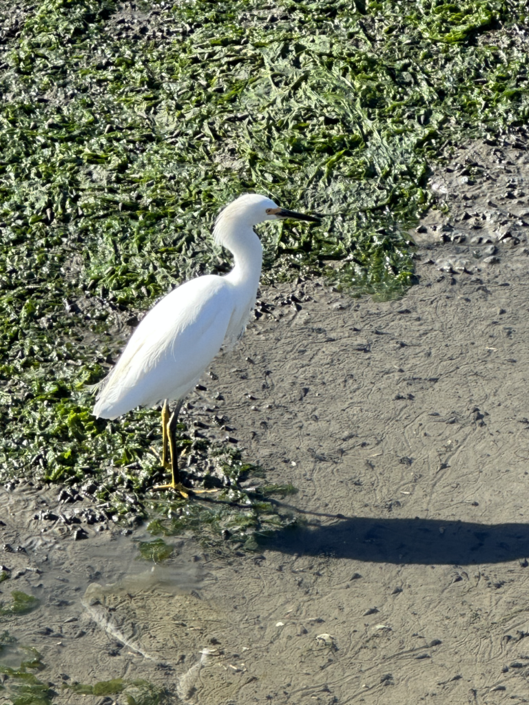
The Tijuana Slough National Wildlife Refuge is part of the San Diego National Wildlife Refuge Complex, and is also within the Estuarine Research Reserve. The Tijuana Slough Refuge protects one of southern California’s largest remaining salt marshes without a road or railroad trestle running through it. Designated as a Globally Important Bird Area by the American Bird Conservancy, over 370 species of birds have been sighted on the refuge. Steelhead have been recorded in the past in the river during runs.
The Tijuana River Valley Regional Park is located in the Tijuana River Valley district of San Diego. It protects over 1,800 acres, including dense riparian forests along the Tijuana River. It has an extensive system of trails for walking and equestrian access. Construction of a campground within the regional park was approved, and the campground is active and offers sites for tent campers, RVers, and yurts.


Wetland Expansion Potential
Wetland Migration
The areas protected in the Tijuana River National Estuarine Research Reserve (TRNERR), Border Field State Park, and the Tijuana River Valley Regional Park will provide plenty of space for landward migration of wetlands. Substantial areas of historic wetlands have been lost as excessive sediment raised the elevation. Sea level rise will reclaim these areas as wetlands, then move into areas that were historically transition zones and grasslands in the valley.
Almost all of the area that will be impacted by sea level rise is already within the preserves. The one exception is the Navy’s Outlying Airfield. A portion of this parcel south of Boundary Road has already been incorporated into the Research Reserve. The western end of the runway starts to flood at about 4 feet of sea level rise, and most of it will be flooded at about 8 feet. If the Navy decided to abandon or relocate the runway, it would have good potential for restoration as wetlands.
Constraints
The main constraint on wetland expansion is the topography. Steep slopes up to mesas North and South of the river valley limit expansion. Close to the coast, a low-lying area to the North is blocked by the City of Imperial Beach. Expansion to the East is less constrained as the elevation rises gradually in the valley, which is mostly parkland until it is blocked by the freeway.

Public Access
There is good public access to most of the preserves via extensive trail networks and some public roads. The visitor center provides interpretive exhibits and educational programs and serves as the primary access point to the trail network north of the river.
Public transit access is very limited. There are only a few bus stops close to any of the trailheads. The MTS 933 bus stops at the visitor center at the northernmost point in the Research Reserve and connects to the Blue Line trolley at the Iris Ave transit Center. The 933 also stops at Tocayo and Hollister within 1/4 mile of several access points in the Regional Park.